A major nor’easter is rapidly approaching the Northeastern United States, set to bring blizzard conditions, heavy snowfall, and strong gusty winds to millions of residents, including New York City and Boston, reports customreceipt.com via CNN. Meteorologists warn that the storm, developing into a bomb cyclone off the Eastern Seaboard on Sunday, will intensify quickly and deliver its most severe conditions by Sunday night into Monday.
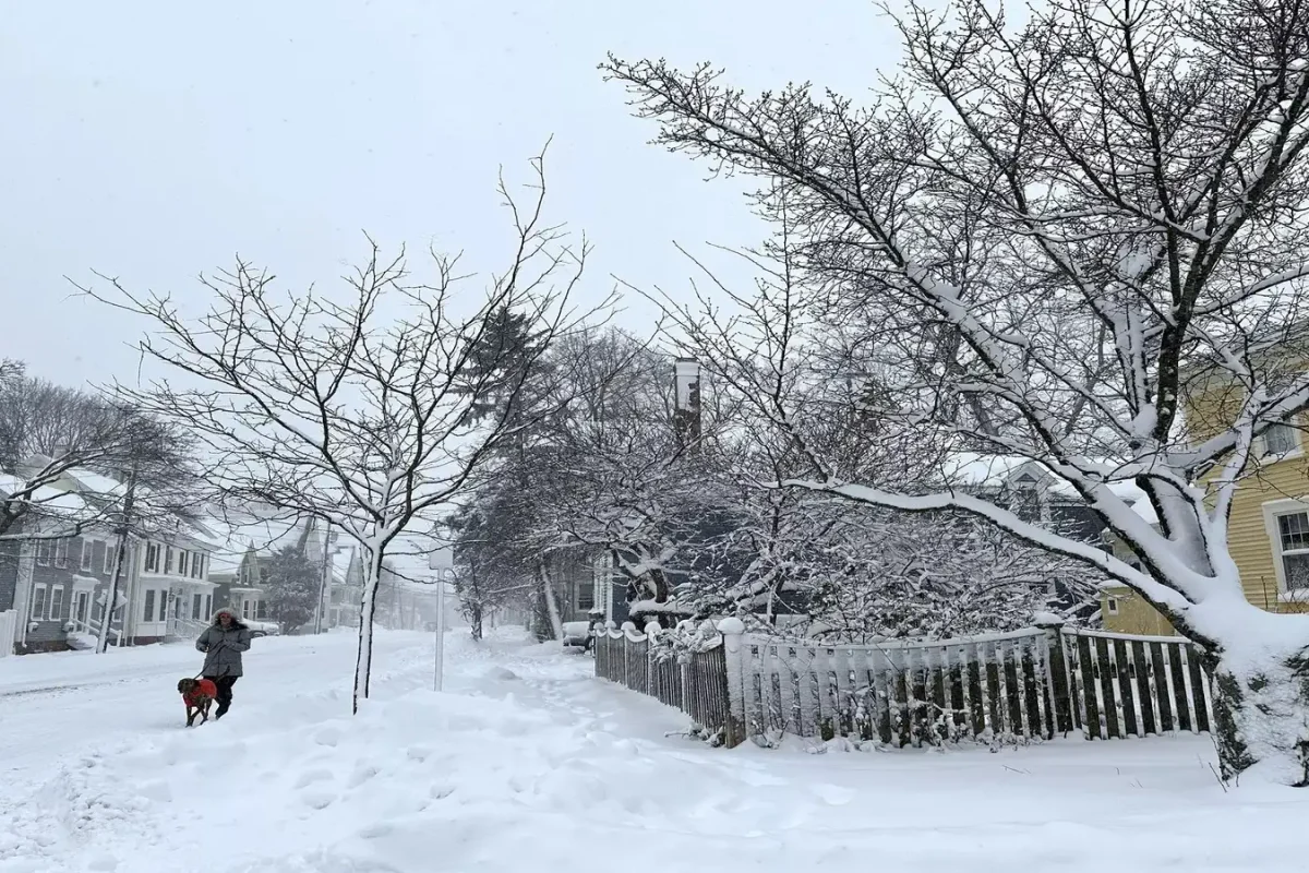
Blizzard warnings have been issued for millions across the region, stretching from Delaware and New Jersey to New York City and parts of southern coastal New England. This marks the first blizzard warning for New York City since 2017. The storm is expected to drop a foot or more of snow from areas near or east of Philadelphia through New York City and Boston, while parts of the Mid-Atlantic farther south, including Baltimore, could see several inches.
Travel disruption is expected to be severe. Snow will begin during the day on Sunday, but conditions will worsen dramatically by Sunday evening. Major roadways may become impassable, and Monday morning commutes could be highly dangerous or impossible. Airports in New York City, Philadelphia, and Boston are likely to experience significant delays and cancellations.
Heavy, wet snow combined with winds gusting over 40 mph may cause tree branches to break and lead to scattered power outages. Along the immediate coast, gusts could reach up to 55 mph, pushing ocean water onshore and causing moderate to locally major coastal flooding from Delaware and New Jersey to Long Island and southern New England. Peak water levels are anticipated during high tide late Sunday night or early Monday morning.
According to the NOAA Winter Storm Severity Index, parts of the DelMarVa Peninsula, eastern Pennsylvania, most of New Jersey, the New York Tri-state area, and southern New England could see major to locally extreme impacts. Travel will be highly dangerous or impossible, and widespread closures are expected. While subtle differences in the storm’s track may adjust snowfall totals slightly in some areas, the overall impact is expected to be substantial. The heaviest snow, potentially exceeding a foot, is most likely near and east or southeast of Interstate 95 from Philadelphia to New York City and Boston.
This would be the first snowstorm of over a foot at New York City’s Central Park in more than five years, following a major winter storm last month that nearly reached that mark with 11.4 inches. The combination of heavy, wet snow and strong winds will stress trees and power lines, potentially causing scattered outages across the region.
The storm will begin with rain and snow during Sunday in New York and the Mid-Atlantic, with precipitation changing to snow as colder air moves in. Conditions will deteriorate rapidly Sunday evening into the overnight hours as the storm intensifies off the coast. Snowfall rates may reach an inch or more per hour in some areas, with blizzard conditions along the coast and hazardous travel extending north from the Mid-Atlantic to southern New England. By sunrise Monday, areas from Philadelphia to New York City and southern New England will still experience the worst of the storm. Snow and strong winds will gradually ease from south to north through Monday afternoon, though parts of New England may continue to feel residual impacts into the evening.
Earlier we wrote that Former South Korean President Yoon Suk Yeol Sentenced to Life for December 2024 Martial Law Attempt